Lake Marion Passage
Trail Description
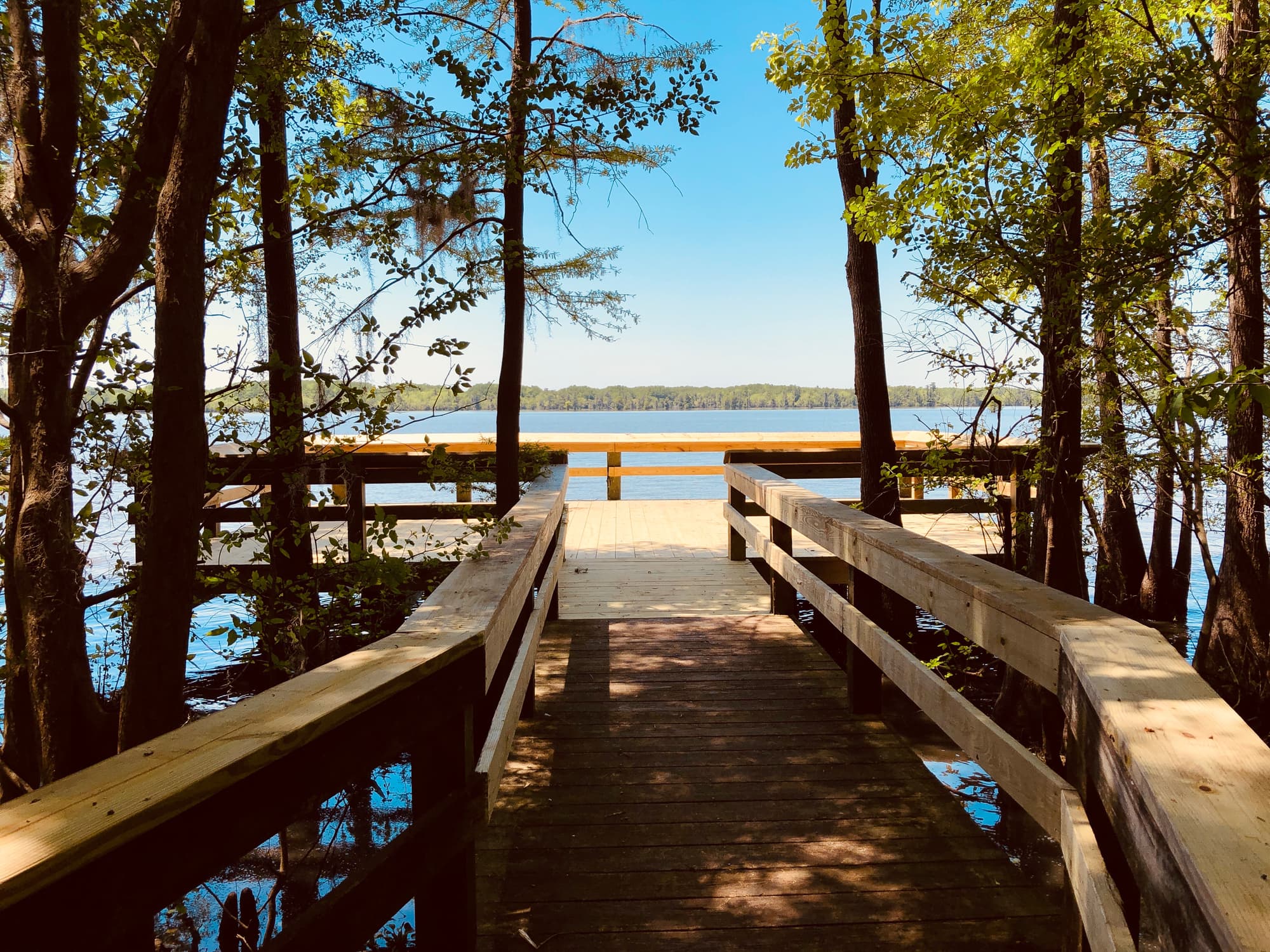
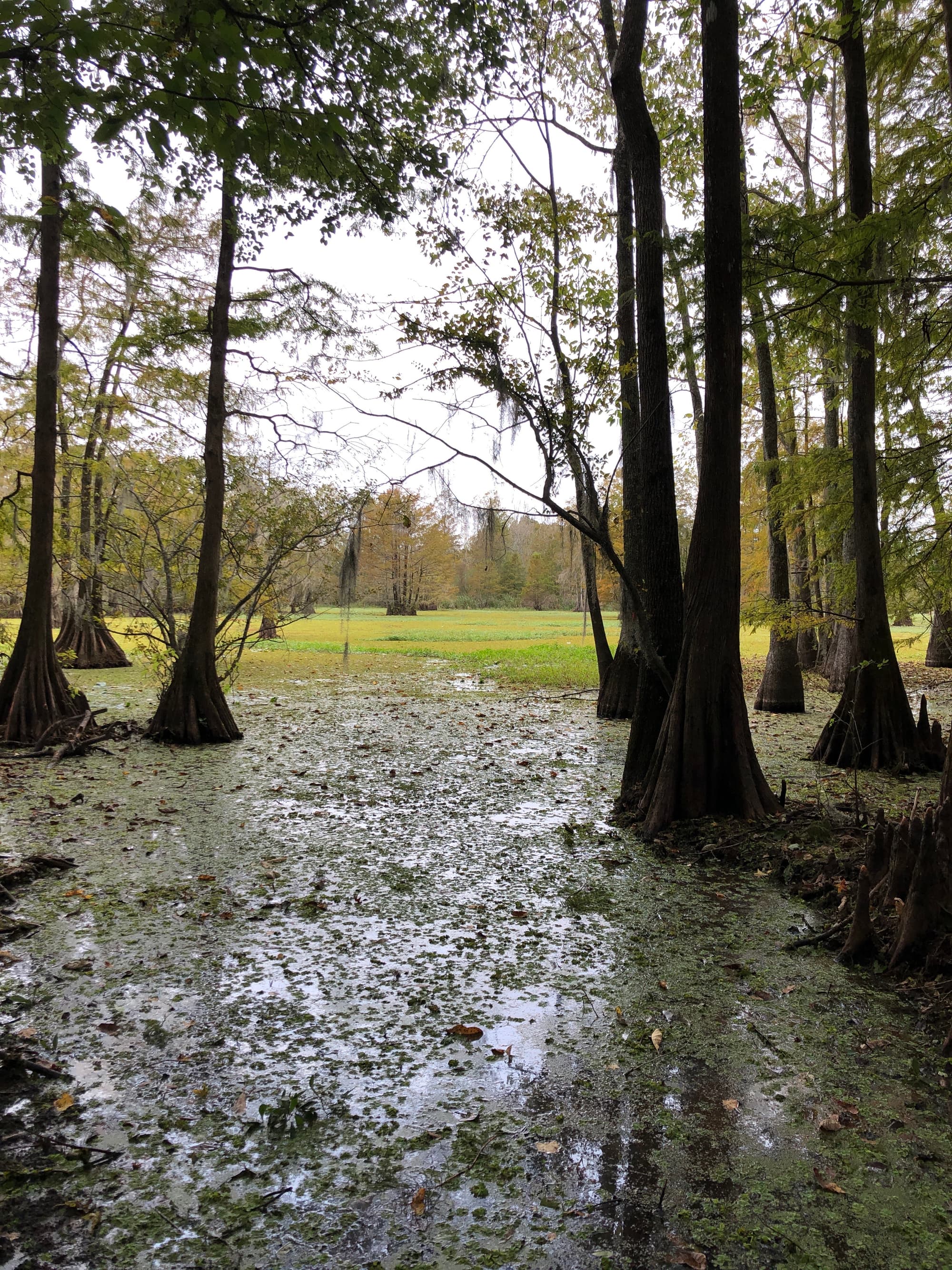
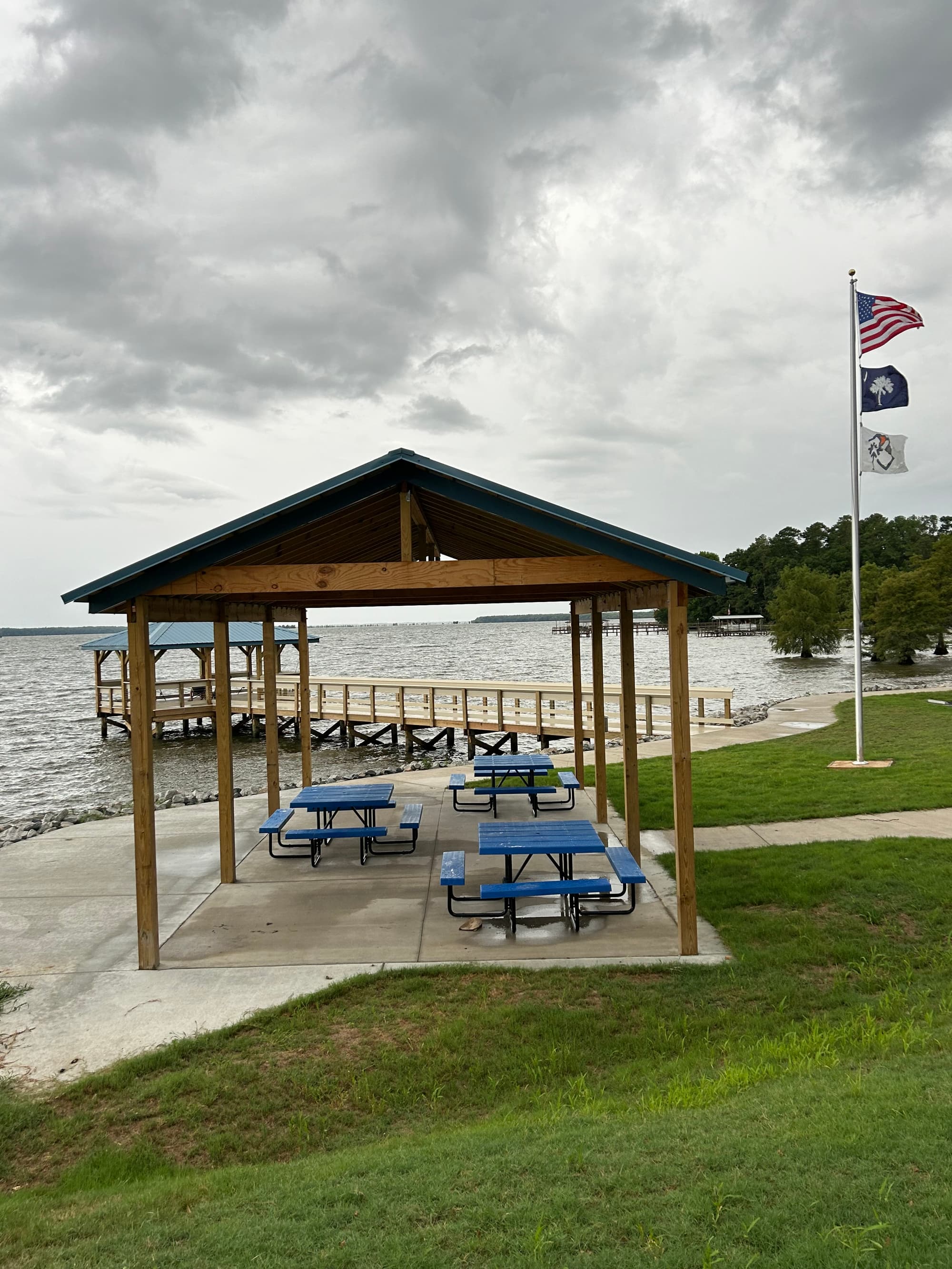
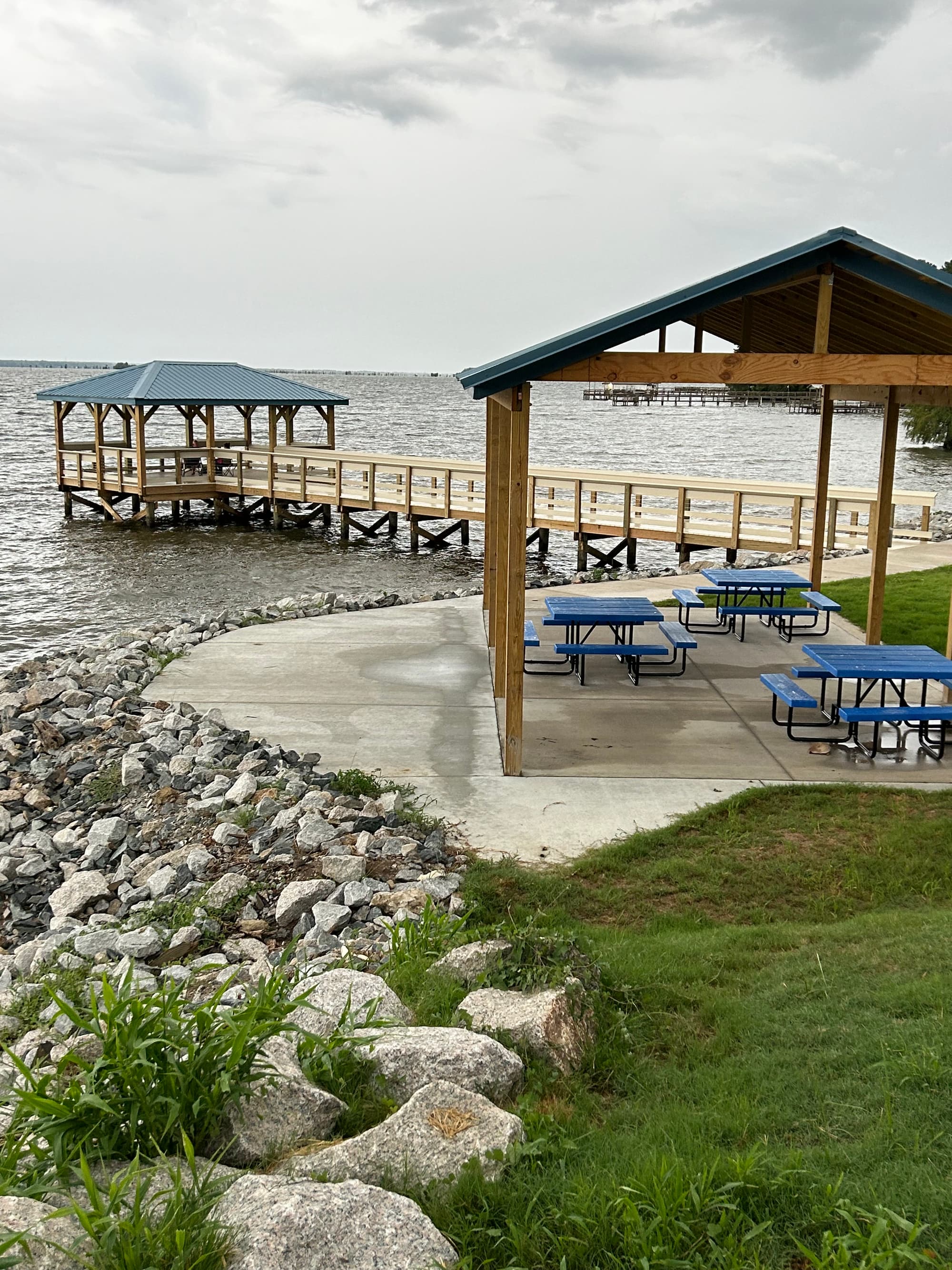
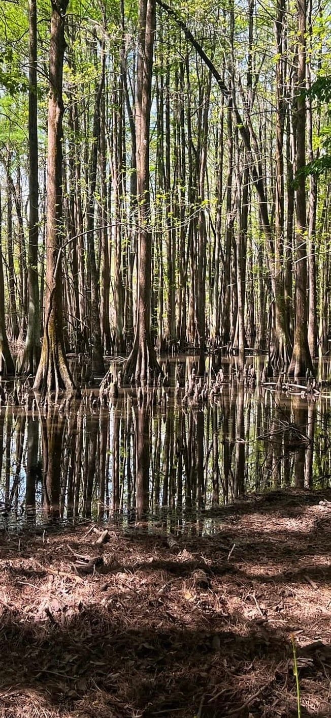
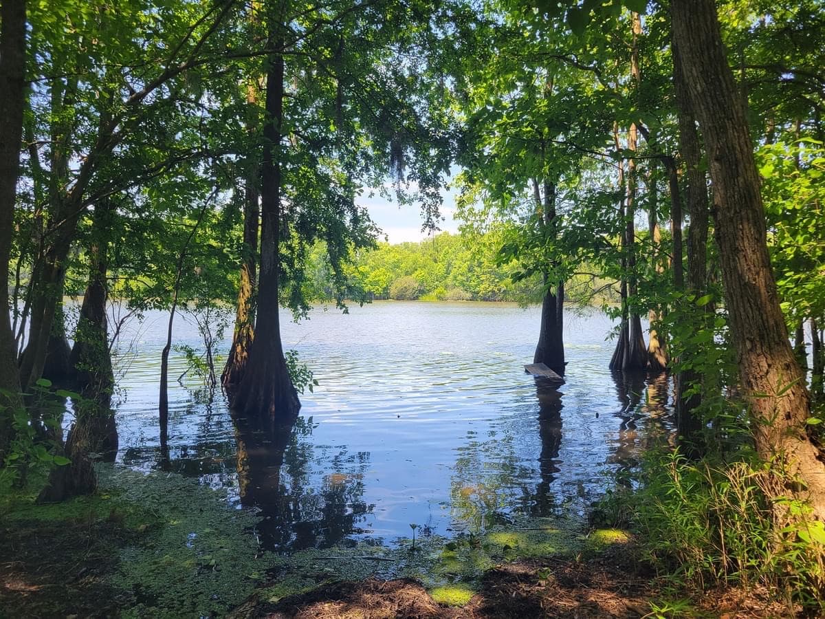
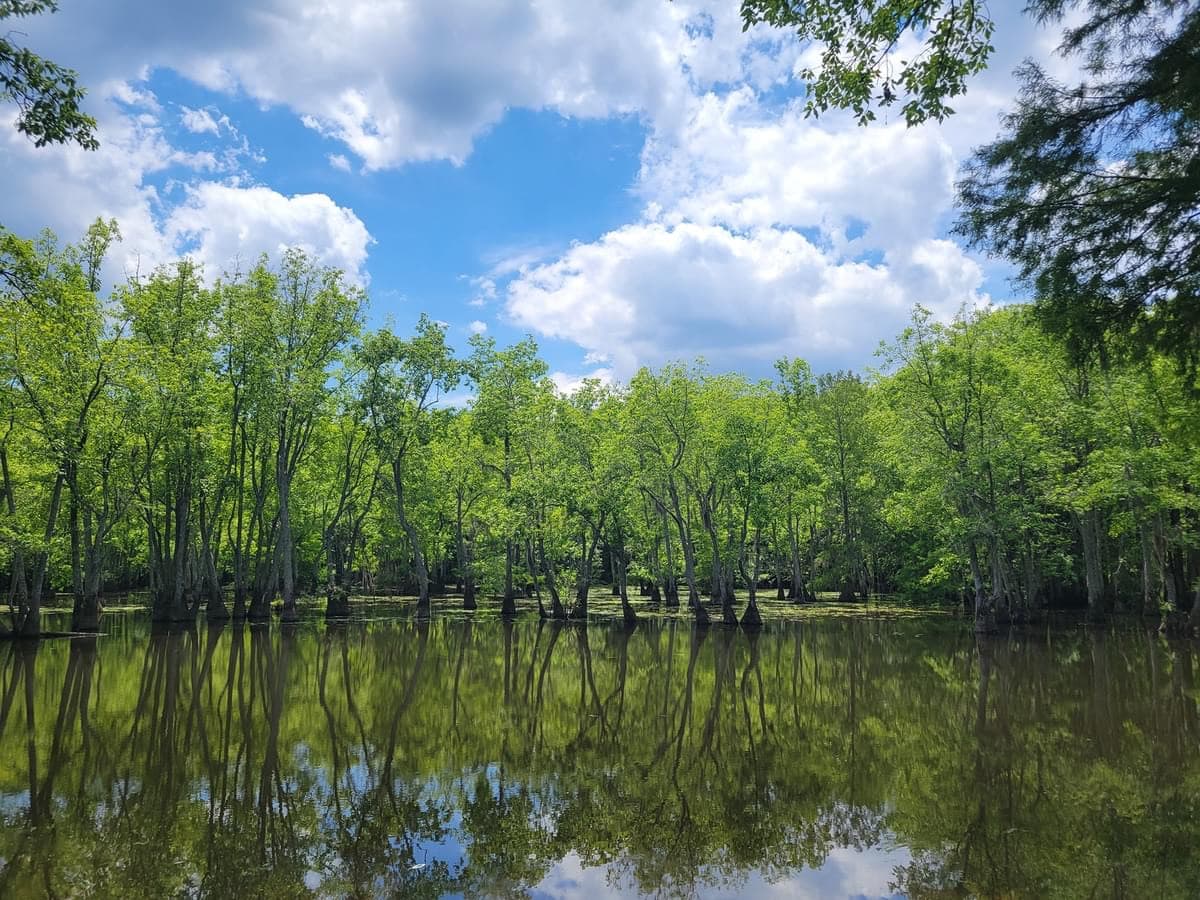
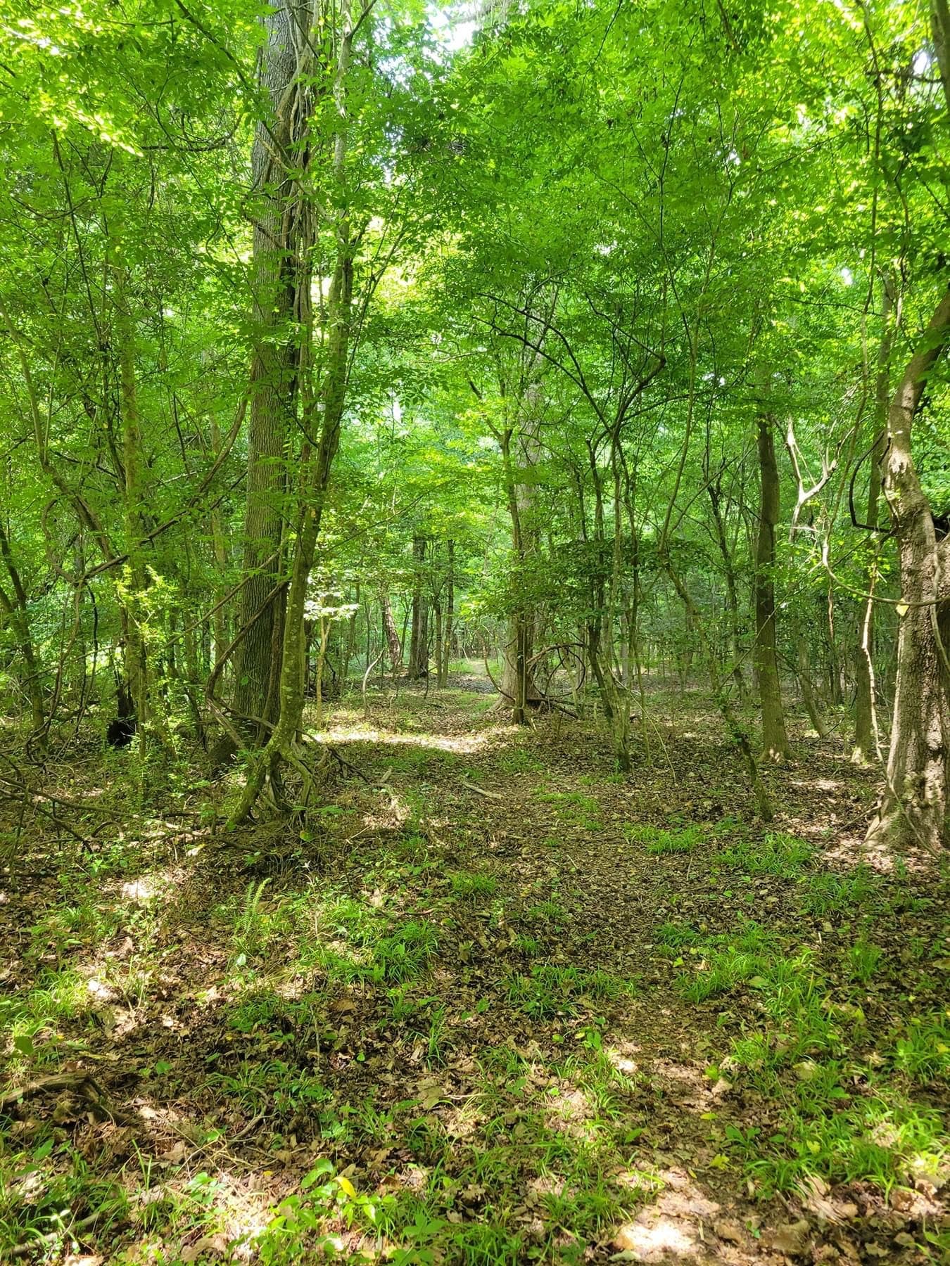
The High Hills of Santee in Sumter County were named for the high, sandy ridges that are part of the Sandhills geographical region. These rolling hills are the remains of an ancient ocean shoreline found in the Carolinas and Georgia. Over time, the beach sand and shells transformed into rock, called coquina. In the 1930s, the Civilian Conservation Corps used this native stone to build many structures in Poinsett State Park, where the Passage terminates. The highest point in Poinsett is about 130 feet above the adjacent Wateree Swamp. The views here are impressive and the mosquitoes less bothersome than in the swamp. You may spot the endangered red-cockaded woodpecker. The trail passes several old mill ponds, evidence of the economic activity of a bygone era. Restrooms, camping, and other facilities are available at Sumter County’s Mill Creek Park trailhead and at the northern terminus in Poinsett State Park. A bike repair station is located near the ranger station in the state park.
Additional Information
Manchester State Forest, 7640 Headquarters Rd, Wedgefield, SC 29168, ph (803) 494-8196
Mill Creek County Park, 7975 Millford Plantation Rd, Pinewood, SC 29125, ph (803) 436-2248
Santee Cooper Land Division, One Riverwood Dr, Moncks Corner, SC 29461, ph (843) 761-8000
Santee National Wildlife Refuge, 2125 Fort Watson Rd, Summerton, SC 29148, ph (803) 478-2217
Trail Map
Trail Alerts
Dogs must be leashed at all times.
If backpacking, remember to hang food in bear bags.
Remember to bring trash and waste bags to pack out everything that comes in with you, and Leave No Trace.
No metal detectors allowed.